5 p.m. Monday: KASD schools will be closed tomorrow, Tuesday, March 17, due to ongoing cleanup and transportation challenges following the recent major winter storm. Thank you to the many crews working diligently to restore safe conditions across our schools and community.
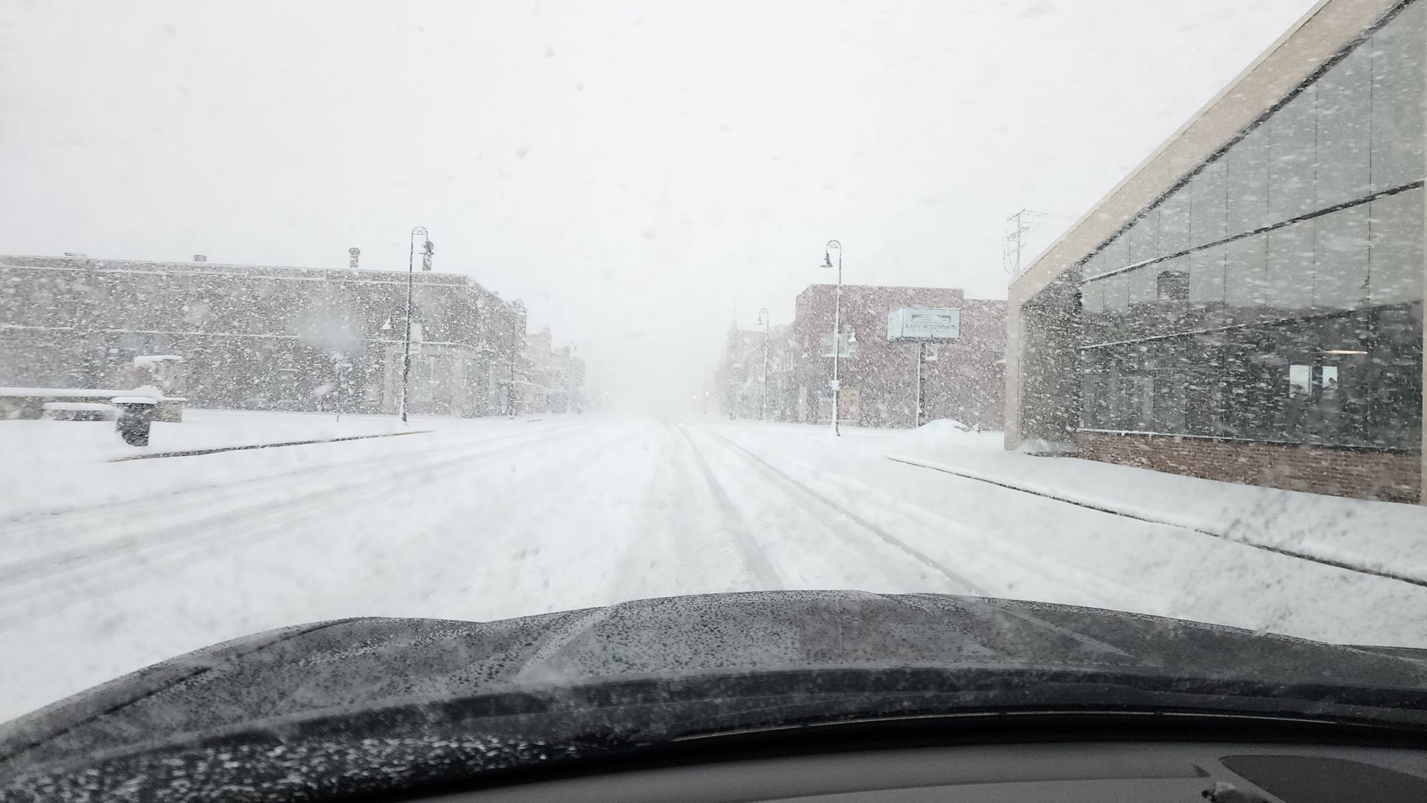
7 a.m. Monday: Area of heavy snow continues to pivot over thr Fox Valley this morning creating whiteout conditions and snow covered roads. Travel is not advised across northeast WI this morning.
****
10 a.m. Sunday: A Blizzard Warning has been issued for March 15 at 9:57 a.m. until March 16 at 4 p.m. by NWS Green Bay WI
Travel should be restricted to emergencies only. If you must travel, have a winter survival kit with you. If you get stranded, stay with
your vehicle. The latest road conditions for the state you are calling from can be obtained by calling 5 1 1.
People should consider delaying all travel. Motorists should use extreme caution if travel is absolutely necessary.
- WHAT…Heavy snow expected. The snow will mix with or change over to sleet, freezing rain, and rain at times today before changing back to all snow tonight. Total snow and sleet accumulations between 12 and 20 inches with the lowest totals towards Oshkosh and Chilton. Ice accumulations between one and two tenths of an inch.
Winds gusting as high as 50 mph will result in considerable blowing and drifting snow and blizzard conditions this evening into Monday. - WHERE…Calumet, Winnebago, Brown, and Outagamie Counties.
- WHEN…For the Winter Storm Warning, until 4 PM CDT this afternoon.
For the Blizzard Warning, from 4 PM this afternoon to 4 PM Monday
4 a.m. Sunday: Mixed precipitation mix in through the late morning to early afternoon before gradually switching back to snow overnight tonight.
Winds will be on the increase through the morning, with current observed gusts around 20-25 mph expected to increase to 30-35 by the early afternoon and even higher by the end of the day.
As a result, travel conditions are expected to rapidly deteriorate through the early parts of the day today.
12:30 a.m. Sunday: A tow ban has been implemented for all roadways in Outagamie County. Towing operations will be suspended until further notice.
The Outagamie County Sheriff’s Office encourages the public to avoid all unnecessary travel. If your vehicle becomes stranded it will need to remain in place until conditions improve.