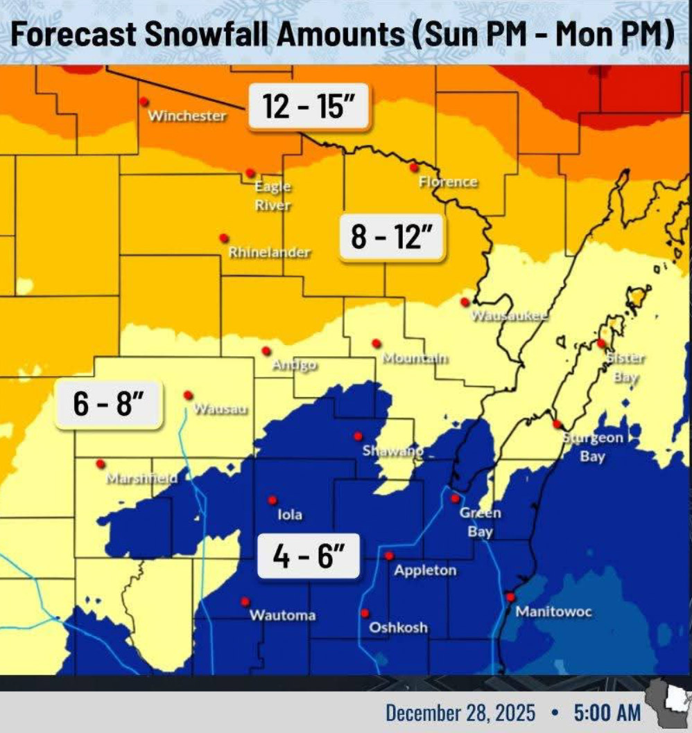
GREEN BAY — A potent winter storm is on track to effect northeast Wisconsin this afternoon through Monday afternoon, according to the National Weather Service in Green Bay.
The storm has the potential for significant snowfall and hazardous travel.
Light rain begins to transition to snow across the Fox Valley late this afternoon through this evening as colder air arrives, with snowfall intensity ramping up overnight. 0.5 to 1″/hour.
Additionally, northwest winds gusting between 35 and 50 mph are likely to cause significant visibility reductions from blowing snow across the forecast area, lasting through the Monday morning commute.
The National Weather Service urges drivers to exercise extreme caution if travelling, and allow extra time to reach your destination.
For information about Winter Storm Warning timing, visit: https://forecast.weather.gov/wwamap/wwatxtget.php?cwa=GRB&wwa=winter%20storm%20warning