NEW ORLEANS — Southeastern United States is bracing for another round of severe weather and possible tornados.
The hazardous weather outlook is for portions of southeast Arkansas, northeast Louisiana, central Mississippi, and north central Mississippi, according to the National Weather Service.
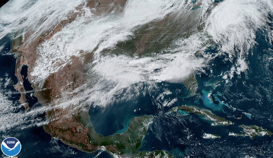
(WATCH THE SATELLITE LOOP HERE)
Wednesday night, isolated severe thunderstorms are possible. Some thunderstorms could produce damaging wind gusts and hail up to quarter size. A tornado cannot be ruled out.
Then, significant severe storms are likely mid-morning Thursday through early Thursday evening, across the entire outlook area.
Tornadoes are likely, with some strong and long-track. Damaging wind gusts up to 80 mph and large hail greater than golf ball size are likely.
The highest potential is east of the Mississippi River and along and north of Interstate 20, with some threat lingering into southeast Arkansas, northeast Louisiana and south-central Mississippi.
The highest threat of strong and long-track tornadoes will be in central-northeast Mississippi, mainly
Thursday afternoon.