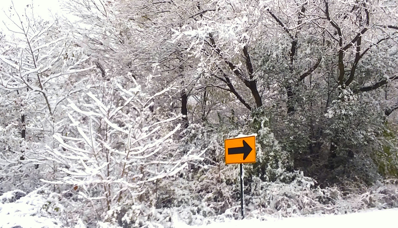
KAUKAUNA — A Winter Storm Warning has been issued for northeast Wisconsin through Saturday morning, according to the National Weather Service in Green Bay.
Hazardous conditions are expected late today through Thursday as a strong winter storm moves through Wisconsin affecting travel right before Christmas.
Even worse travel conditions are possible Thursday night through Friday night. Consider avoiding travel during this period unless absolutely necessary.
If you must travel during this period; drive with extreme caution; consider taking a winter storm kit along with you, including such items as tire chains, booster cables, flashlight, shovel, blankets and extra clothing.
Also take water, a first aid kit, and anything else that would help you survive in case you become stranded.
Be sure your vehicle has sufficient fuel before crossing open areas.
Snow accumulations of 4 and 7 inches expected Thursday.
Additional snow accumulations of 1 to 5 inches are expected on Saturday, with the highest totals in far eastern Wisconsin. Winds could gust as high as 45 mph., according to Outagamie County Emergency Management.
Snow will result in slippery roads and hazardous travel conditions at times late today through Thursday. Travel conditions could become dangerous at times Thursday night through Friday night when winds increase. The strong winds will result in widespread blowing and drifting snow, and possibly near-zero visibility at times in open areas.
The strong winds will drive much colder air into the area. The Wind Chill Index is expected to be in the 15 below to 25 below zero range in central and north-central Wisconsin Thursday night through Saturday. Wind chills in the east will range from 10 below zero to 20 below zero during this period.
.
.