UPDATE: CLICK HERE to see a map of the tornado’s path.
******
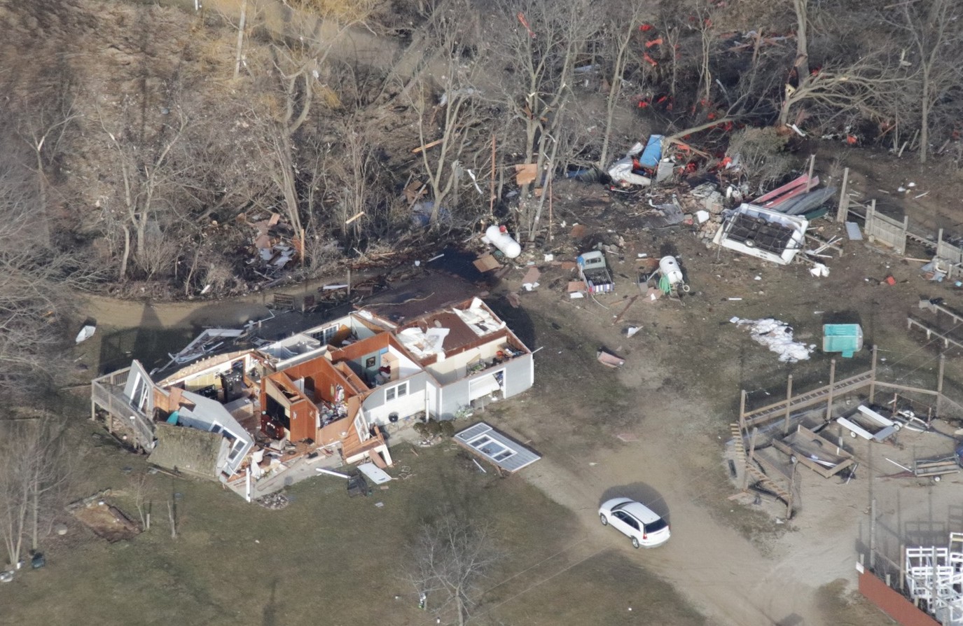
EVANSVILLE — As recovery efforts got under way Friday, photographs from the ground and the air revealed the devastation of the evening tornado the night before that tore through Green and Rock counties.
The tornado that tracked from Evansville to southwest Jefferson County was a high end EF2, according to the National Weather Service.
Power was restored overnight to Evansville, a small community south of Madison, but remained out for much longer in rural areas after a rare February tornado.
The Evansville Community School District announced there would be no classes Friday because of the power outage.
City of Evansville Police, Fire, and EMS personnel were out until the early morning hours of Friday conducting checks of care facilities and known elderly and disabled citizens.
Preliminary checks within the city limits of Evansville have been conducted and no one has reported injuries or serious damage within the city of Evansville.
Most damage occurred outside of the city in Union and Porter townships.
According the the National Weather Service in Milwaukee, multiple reports began coming in about 5:30 p.m. of funnel clouds near Highway 59.
At 5:37 p.m., there was a reports of tornado on the ground tracking northeast on the north side of Albany.


